Skiing in St. Anton
St. Anton is one base within Ski Arlberg. Plan around your starting point and a realistic return route before treating the whole connected area as one day's itinerary.
St. Anton am Arlberg: linked skiing, train travel and group planning
St Anton ski guide: Ski Arlberg terrain, rail access, Nasserein children’s lessons, accommodation. Check ski passes, snow and ski partners.
- Pistes across the full Ski Arlberg area (km)
- 301
- Run of Fame circuit — multiple runs and lifts (km)
- 85
Skiing & terrain in St. Anton am Arlberg
Every entry in Ski Arlberg's official live run lists (checked 18 Oct 2026), labelled by area: 81 for St. Anton – St. Christoph – Stuben, 77 for Lech–Zürs and 46 for Warth–Schröcken, plus the White Ring legs and two circuits. Sonnenkopf (Klösterle) is not included.
- km of pistes across Ski Arlberg
- 301
- Main connected regions
- 3
- Run-list entries for St. Anton – St. Christoph – Stuben (Arlberger Bergbahnen)
- 81
- of them graded pistes (the rest are ski routes)
- 61
- Run-list entries for Lech – Oberlech – Zürs
- 77
- Run-list entries for Warth–Schröcken
- 46
- Blue pistes in this table: 78
- Red pistes in this table: 54
- Black pistes in this table: 19
Rows labelled “St. Anton – St. Christoph – Stuben” are the Arlberger Bergbahnen runs, under the name of Ski Arlberg's official live list; the list does not assign runs to individual mountains, so this table does not either. Lech–Zürs and Warth–Schröcken are other parts of Ski Arlberg, reached by lift and ski connections. Grades: blue/red/black pistes; yellow ski routes are marked and avalanche-protected but not groomed or patrolled and are shown as “route”, extreme ski routes as “expert”. Lengths are the per-run figures in the official Ski Arlberg interactive map, which does not say whether they are measured along the slope or horizontally; 9 list entries have none. The five “Lech–Zürs / White Ring” rows keep the leg lengths from the White Ring page; those legs start and end at different points from runs 125, 170, 181, 185 and 200 in the list and are not counted in the breakdown. Run 307 appears twice in the live list and is shown once. Lift lengths and verticals are never used as run lengths.
| Run & area | Difficulty | Run length |
|---|---|---|
| #1 Rendl – TalabfahrtSt. Anton – St. Christoph – Stuben · | RedSki run | 4,357 metres |
| #2 TobelSt. Anton – St. Christoph – Stuben · | RedSki run | 1,400 metres |
| #3 WanneleSt. Anton – St. Christoph – Stuben · | ExpertSki route | 1,758 metres |
| #4 TobelrouteSt. Anton – St. Christoph – Stuben · | Ski routeSki route | 513 metres |
| #5 Gampberg DirekteSt. Anton – St. Christoph – Stuben · | BlackSki run | 611 metres |
| #6 GampbergSt. Anton – St. Christoph – Stuben · | RedSki run | 2,651 metres |
| #7 RestauranthangSt. Anton – St. Christoph – Stuben · | Ski routeSki route | 502 metres |
| #8 GampberglochSt. Anton – St. Christoph – Stuben · | RedSki run | 807 metres |
| #9 ÜbungswieseSt. Anton – St. Christoph – Stuben · | BlueSki run | 360 metres |
| #10 MaassSt. Anton – St. Christoph – Stuben · | ExpertSki route | 705 metres |
| #11 SalzbödenSt. Anton – St. Christoph – Stuben · | BlueSki run | 1,952 metres |
| #12 Stanton SpeedSt. Anton – St. Christoph – Stuben · | RedSki run | 333 metres |
| #13 WasserlochSt. Anton – St. Christoph – Stuben · | BlueSki run | 340 metres |
| #14 Riffel 1St. Anton – St. Christoph – Stuben · | BlueSki run | 2,432 metres |
| #15 RiffelkarSt. Anton – St. Christoph – Stuben · | BlueSki run | 1,071 metres |
| #16 RiffelscharteSt. Anton – St. Christoph – Stuben · | ExpertSki route | 648 metres |
| #25 Hinterer StockSt. Anton – St. Christoph – Stuben · | RedSki run | 825 metres |
| #26 StockSt. Anton – St. Christoph – Stuben · | BlueSki run | 2,937 metres |
| #27 HopplwegSt. Anton – St. Christoph – Stuben · | BlueSki run | 3,420 metres |
| #28 Mattunbahn ZufahrtSt. Anton – St. Christoph – Stuben · | BlueSki run | 472 metres |
| #29 Grün – St. AntonSt. Anton – St. Christoph – Stuben · | RedSki run | 1,822 metres |
| #30 Platti StandardSt. Anton – St. Christoph – Stuben · | BlackSki run | 2,298 metres |
| #31 Stallmähder – FangSt. Anton – St. Christoph – Stuben · | BlueSki run | 5,329 metres |
| #32 EisfallSt. Anton – St. Christoph – Stuben · | ExpertSki route | 326 metres |
| #33 NassereinSt. Anton – St. Christoph – Stuben · | RedSki run | 1,178 metres |
| #34 FangSt. Anton – St. Christoph – Stuben · | BlackSki run | 2,355 metres |
| #40 MattunSt. Anton – St. Christoph – Stuben · | ExpertSki route | 2,547 metres |
| #41 KapallSt. Anton – St. Christoph – Stuben · | ExpertSki route | 1,532 metres |
| #42 Kandahar – KapallSt. Anton – St. Christoph – Stuben · | BlackSki run | 1,002 metres |
| #43 FaschSt. Anton – St. Christoph – Stuben · | BlueSki run | 2,209 metres |
| #44 GstansSt. Anton – St. Christoph – Stuben · | RedSki run | 3,080 metres |
| #50 Zammermoos – St. AntonSt. Anton – St. Christoph – Stuben · | BlueSki run | 3,521 metres |
| #51 OsthangSt. Anton – St. Christoph – Stuben · | Ski routeSki route | 1,652 metres |
| #52 Kandahar GalzigSt. Anton – St. Christoph – Stuben · | BlackSki run | 2,146 metres |
| #53 SeichbödenSt. Anton – St. Christoph – Stuben · | BlueSki run | 978 metres |
| #54 OberlochSt. Anton – St. Christoph – Stuben · | Ski routeSki route | 823 metres |
| #55 SteissbachtalSt. Anton – St. Christoph – Stuben · | BlueSki run | 1,174 metres |
| #56 Steissbachtal ZufahrtSt. Anton – St. Christoph – Stuben · | BlueSki run | 1,150 metres |
| #57 Steissbachtal ArlenrainSt. Anton – St. Christoph – Stuben · | RedSki run | 847 metres |
| #58 ArlensattelSt. Anton – St. Christoph – Stuben · | BlackSki run | 966 metres |
| #59 Schwarze WandSt. Anton – St. Christoph – Stuben · | BlueSki run | 1,124 metres |
| #60 Skiweg TanzbödenSt. Anton – St. Christoph – Stuben · | BlueSki run | 1,409 metres |
| #61 TanzbödenSt. Anton – St. Christoph – Stuben · | BlueSki run | 1,434 metres |
| #62 Tanzböden DirekteSt. Anton – St. Christoph – Stuben · | RedSki run | 379 metres |
| #63 Osthang EinfahrtSt. Anton – St. Christoph – Stuben · | BlueSki run | 2,689 metres |
| #64 St. ChristophSt. Anton – St. Christoph – Stuben · | BlueSki run | 3,516 metres |
| #65 MaienseeSt. Anton – St. Christoph – Stuben · | BlueSki run | 2,514 metres |
| #66 ArlbergpassrouteSt. Anton – St. Christoph – Stuben · | Ski routeSki route | 1,428 metres |
| #75 ArlbergfilmrinneSt. Anton – St. Christoph – Stuben · | Ski routeSki route | 970 metres |
| #76 ArlenmähderSt. Anton – St. Christoph – Stuben · | BlueSki run | 2,141 metres |
| #77 PfannenbachSt. Anton – St. Christoph – Stuben · | RedSki run | 1,848 metres |
| #78 UlmerhütteSt. Anton – St. Christoph – Stuben · | BlueSki run | 1,474 metres |
| #79 SchindlerhängeSt. Anton – St. Christoph – Stuben · | Ski routeSki route | 844 metres |
| #80 Innere SchweinströgeSt. Anton – St. Christoph – Stuben · | BlueSki run | 1,181 metres |
| #85 ValfagehrjochSt. Anton – St. Christoph – Stuben · | RedSki run | 1,665 metres |
| #86 SchindlerkarSt. Anton – St. Christoph – Stuben · | Ski routeSki route | 2,237 metres |
| #87 Schindlerkar SteilhangSt. Anton – St. Christoph – Stuben · | ExpertSki route | 779 metres |
| #88 Untere SchweinströgeSt. Anton – St. Christoph – Stuben · | Ski routeSki route | 549 metres |
| #90 MattunjochSt. Anton – St. Christoph – Stuben · | ExpertSki route | 1,262 metres |
| #91 KnoppenkarSt. Anton – St. Christoph – Stuben · | Ski routeSki route | 478 metres |
| #92 VallugagratSt. Anton – St. Christoph – Stuben · | RedSki run | 924 metres |
| #100 ValfagehrSt. Anton – St. Christoph – Stuben · | BlueSki run | 3,370 metres |
| #101 PfannenköpfeSt. Anton – St. Christoph – Stuben · | ExpertSki route | 2,460 metres |
| #102 RauztobelSt. Anton – St. Christoph – Stuben · | BlueSki run | 2,530 metres |
| #103 Mittelstation–Rauz-StubenSt. Anton – St. Christoph – Stuben · | BlueSki run | Length not yet verified |
| #103 Mittelstation–Rauz-StubenSt. Anton – St. Christoph – Stuben · | RedSki run | 2,460 metres |
| #104 Mittelstation – Passage – StubenSt. Anton – St. Christoph – Stuben · | RedSki run | 3,830 metres |
| #105 SeelehangSt. Anton – St. Christoph – Stuben · | RedSki run | 2,940 metres |
| #106 AlbonaSt. Anton – St. Christoph – Stuben · | RedSki run | 1,920 metres |
| #107 SonnleitenSt. Anton – St. Christoph – Stuben · | RedSki run | 2,620 metres |
| Piste AngerliftSt. Anton – St. Christoph – Stuben · | BlueSki run | Length not yet verified |
| Piste WalchliftSt. Anton – St. Christoph – Stuben · | BlueSki run | 1,480 metres |
| Piste RauzliftSt. Anton – St. Christoph – Stuben · | BlueSki run | 140 metres |
| Piste Fun SlopeSt. Anton – St. Christoph – Stuben · | BlueSki run | 474 metres |
| Piste KindlisfeldliftSt. Anton – St. Christoph – Stuben · | BlueSki run | 578 metres |
| Piste MuldenliftSt. Anton – St. Christoph – Stuben · | BlueSki run | 578 metres |
| Piste NassereinliftSt. Anton – St. Christoph – Stuben · | BlueSki run | 580 metres |
| Piste Nasserein-KinderparkSt. Anton – St. Christoph – Stuben · | BlueSki run | Length not yet verified |
| Piste Übungslifte Gampen I + IISt. Anton – St. Christoph – Stuben · | BlueSki run | Length not yet verified |
| #108 Direktzufahrt AlbonaSt. Anton – St. Christoph – Stuben · | RedSki run | 593 metres |
| #67 BachseiteSt. Anton – St. Christoph – Stuben · | ExpertSki route | Length not yet verified |
| #181 SteinmännleLech–Zürs / White Ring · | See official mapSki run | 1,634 metres |
| #185 Schüttboden–ZürsLech–Zürs / White Ring · | See official mapSki run | 1,607 metres |
| #125 Hexenboden DirectLech–Zürs / White Ring · | See official mapSki run | 1,798 metres |
| #170 Madloch–ZugLech–Zürs / White Ring · | See official mapSki route | 4,187 metres |
| #200 Kriegeralpe–Petersboden–Oberlech–LechLech–Zürs / White Ring · | See official mapConnection | 4,236 metres |
| Der Weiße RingLech–Zürs / White Ring · Circuit of about 22 km through Lech, Zürs and Zug, combining descents and lifts (operator figure 21,688 m). | See official mapSki circuit | 21,688 metres |
| #120 Hexenboden StandardLech–Zürs · | RedSki run | 675 metres |
| #121 TonisbödenLech–Zürs · | RedSki run | 477 metres |
| #122 PazieltalLech–Zürs · | RedSki run | 1,344 metres |
| #123 FamilienabfahrtLech–Zürs · | BlueSki run | 3,897 metres |
| #124 SüdhangLech–Zürs · | RedSki run | 307 metres |
| #125 Hexenboden DirekteLech–Zürs · | RedSki run | 1,761 metres |
| #126 Obere FamilienabfahrtLech–Zürs · | BlueSki run | 1,498 metres |
| #127 TrittalpLech–Zürs · | BlueSki run | 402 metres |
| #128 ÜbungshangLech–Zürs · | BlueSki run | 2,484 metres |
| #129 TobelmähderLech–Zürs · | Ski routeSki route | 674 metres |
| #134 BalmenLech–Zürs · | RedSki run | 3,801 metres |
| #135 Hübner HangLech–Zürs · | Ski routeSki route | 785 metres |
| #136 Skiweg TrittkopfLech–Zürs · | Ski routeSki route | 665 metres |
| #137 ZwischenabfahrtLech–Zürs · | RedSki run | 724 metres |
| #138 Skiweg OchsenbodenLech–Zürs · | RedSki run | 740 metres |
| #139 OchsenbodenLech–Zürs · | ExpertSki route | 2,170 metres |
| #144 Muggengrat – TäliLech–Zürs · | RedSki run | 4,250 metres |
| #145 Muggengrat – ZürserseeLech–Zürs · | BlueSki run | 2,226 metres |
| #150 MuggengratLech–Zürs · | BlueSki run | 621 metres |
| #151 JazziLech–Zürs · | RedSki run | 1,829 metres |
| #152 TanzbödenLech–Zürs · | Ski routeSki route | 649 metres |
| #153 MähderLech–Zürs · | RedSki run | 2,364 metres |
| #154 SonnenbergLech–Zürs · | BlackSki run | 892 metres |
| #155 Seekopf RunLech–Zürs · | ExpertSki route | 786 metres |
| #156 LinherabfahrtLech–Zürs · | RedSki run | 1,040 metres |
| #157 Seekopf StandardLech–Zürs · | BlueSki run | 2,655 metres |
| #158 Hohe StandardLech–Zürs · | RedSki run | 1,153 metres |
| #159 MadlochalmLech–Zürs · | BlueSki run | 2,561 metres |
| #160 WieseleLech–Zürs · | Ski routeSki route | 2,089 metres |
| #165 Madloch – ZürserseeLech–Zürs · | RedSki run | 1,982 metres |
| #170 Madloch – ZugLech–Zürs · | Ski routeSki route | 4,139 metres |
| #171 RinderhütteLech–Zürs · | Ski routeSki route | 775 metres |
| #172 Madloch – ZugLech–Zürs · | Ski routeSki route | 485 metres |
| #173 Madloch – LechLech–Zürs · | Ski routeSki route | 2,519 metres |
| #177 ZugertobelLech–Zürs · | Ski routeSki route | 3,731 metres |
| #178 ZuppertLech–Zürs · | ExpertSki route | 1,892 metres |
| #180 MonzabonseeLech–Zürs · | BlueSki run | 2,740 metres |
| #181 SteinmännleLech–Zürs · | RedSki run | 1,660 metres |
| #182 RossgrabenLech–Zürs · | Ski routeSki route | 1,056 metres |
| #183 KurtschussLech–Zürs · | RedSki run | 300 metres |
| #184 SchüttbodenLech–Zürs · | BlueSki run | 590 metres |
| #185 Schüttboden-ZürsLech–Zürs · | BlueSki run | 1,450 metres |
| #200 Kriegeralpe-Oberlech-LechLech–Zürs · | BlueSki run | 5,160 metres |
| #201 Schlegelkopf-Rud Alpe-LechLech–Zürs · | BlueSki run | 3,614 metres |
| #202 SüdhangLech–Zürs · | ExpertSki route | 1,524 metres |
| #203 OsthangLech–Zürs · | ExpertSki route | 1,257 metres |
| #204 NordhangLech–Zürs · | Ski routeSki route | 696 metres |
| #207 Hinterwies-Rud AlpeLech–Zürs · | BlueSki run | 1,441 metres |
| #208 Waldabfahrt-OberlechLech–Zürs · | BlueSki run | 1,250 metres |
| #209 SlalomhangLech–Zürs · | RedSki run | 700 metres |
| #210 Grubenalpe-Oberlech-LechLech–Zürs · | BlueSki run | 2,665 metres |
| #211 SchlosskopfLech–Zürs · | Ski routeSki route | 300 metres |
| #212 Schlosskopf-LechLech–Zürs · | BlueSki run | 1,590 metres |
| #215 LangerzugLech–Zürs · | BlackSki run | 4,520 metres |
| #216 TanneggLech–Zürs · | ExpertSki route | 1,420 metres |
| #217 SchafalpLech–Zürs · | BlueSki run | 610 metres |
| #218 FlühenLech–Zürs · | BlueSki run | 810 metres |
| #220 Furka-SteinmähderLech–Zürs · | BlueSki run | 1,394 metres |
| #221 LiezenLech–Zürs · | ExpertSki route | 835 metres |
| #222 FurkawangLech–Zürs · | ExpertSki route | 652 metres |
| #223 SteinmähderLech–Zürs · | RedSki run | 1,641 metres |
| #224 SteinmähderLech–Zürs · | RedSki run | 649 metres |
| #226 GeißrückLech–Zürs · | RedSki run | 710 metres |
| #226 GeißrückLech–Zürs · | Ski routeSki route | 680 metres |
| #227 Speed SulzenLech–Zürs · | RedSki run | 954 metres |
| #228 FurkamähderLech–Zürs · | RedSki run | 759 metres |
| #229 FurkamähderLech–Zürs · | RedSki run | 293 metres |
| #235 MohnenmähderLech–Zürs · | BlueSki run | 2,889 metres |
| #236 MichischussLech–Zürs · | RedSki run | 1,434 metres |
| #237 SeeliLech–Zürs · | BlueSki run | 757 metres |
| #238 HasensprungLech–Zürs · | BlueSki run | 950 metres |
| #239 zur HasensprungbahnLech–Zürs · | BlueSki run | 250 metres |
| #240 MohnenmähderLech–Zürs · | RedSki run | 1,350 metres |
| #241 BergeralpeLech–Zürs · | ExpertSki route | 1,000 metres |
| #242 MuttamahdLech–Zürs · | Ski routeSki route | 449 metres |
| #243 WeibermahdLech–Zürs · | BlueSki run | 1,025 metres |
| #140 Balmen untenLech–Zürs · | RedSki run | Length not yet verified |
| #251 SaloberWarth–Schröcken · | BlackSki run | 1,900 metres |
| #252 FlühliWarth–Schröcken · | BlackSki run | 850 metres |
| #253 OchsakopfWarth–Schröcken · | BlackSki run | 1,700 metres |
| #254 SchöniplätzWarth–Schröcken · | BlueSki run | 3,100 metres |
| #255 KörberseeWarth–Schröcken · | BlueSki run | 1,250 metres |
| #257 SpielbodenWarth–Schröcken · | BlueSki run | 900 metres |
| #258 Auenfeld (Anschluss Lech Zürs)Warth–Schröcken · | RedSki run | 3,200 metres |
| #259 SunnamahdWarth–Schröcken · | BlueSki run | 2,300 metres |
| #260 KuchlWarth–Schröcken · | RedSki run | 750 metres |
| #261 Kuchl + KörbWarth–Schröcken · | BlueSki run | 1,300 metres |
| #262 GamssprungWarth–Schröcken · | BlackSki run | 1,150 metres |
| #264 SchöniplatzWarth–Schröcken · | RedSki run | 300 metres |
| #266 WannenkopfWarth–Schröcken · | BlueSki run | 1,000 metres |
| #267 WartherhornWarth–Schröcken · | RedSki run | 2,500 metres |
| #268 GraueggenWarth–Schröcken · | BlackSki run | 500 metres |
| #269 DorfabfahrtWarth–Schröcken · | BlueSki run | 550 metres |
| #270 LuchereWarth–Schröcken · | BlueSki run | 1,300 metres |
| #271 WartherhornWarth–Schröcken · | BlackSki run | 300 metres |
| #272 WartherhornWarth–Schröcken · | BlueSki run | 1,800 metres |
| #273 WartherhornWarth–Schröcken · | BlackSki run | 1,000 metres |
| #274 WartherhornWarth–Schröcken · | BlueSki run | Length not yet verified |
| #274 Rennstrecke WartherhornWarth–Schröcken · | RedSki run | 600 metres |
| #275 KleinhörnleWarth–Schröcken · | RedSki run | 1,200 metres |
| #276 SteffisfallWarth–Schröcken · | BlackSki run | 300 metres |
| #280 HolzbodenWarth–Schröcken · | BlackSki run | 1,000 metres |
| #281 HolzbodenWarth–Schröcken · | RedSki run | 1,300 metres |
| #282 JägeralpeWarth–Schröcken · | BlueSki run | 3,600 metres |
| #283 WalserschussWarth–Schröcken · | BlackSki run | 1,800 metres |
| #284 StapfWarth–Schröcken · | BlueSki run | 2,100 metres |
| #285 StapfWarth–Schröcken · | BlackSki run | 300 metres |
| #286 JägeralpeWarth–Schröcken · | BlueSki run | 1,500 metres |
| #290 Abfahrt WarthWarth–Schröcken · | BlueSki run | 3,700 metres |
| #291 BremstelWarth–Schröcken · | BlueSki run | 1,200 metres |
| #292 KarhornWarth–Schröcken · | RedSki run | 1,100 metres |
| #293 KarhornWarth–Schröcken · | BlueSki run | 900 metres |
| #294 HochalpeWarth–Schröcken · | BlueSki run | 1,450 metres |
| #301 WalserschussWarth–Schröcken · | ExpertSki route | 500 metres |
| #302 WalserstutzWarth–Schröcken · | ExpertSki route | 300 metres |
| #303 WolfeggWarth–Schröcken · | Ski routeSki route | 1,300 metres |
| #304 BildeggWarth–Schröcken · | Ski routeSki route | 1,100 metres |
| #305 AdlerWarth–Schröcken · | Ski routeSki route | 1,100 metres |
| #307 SkirouteWarth–Schröcken · | Ski routeSki route | Length not yet verified |
| #308 FalkenWarth–Schröcken · | Ski routeSki route | 500 metres |
| #309 Älpele (Dorf Schröcken)Warth–Schröcken · | Ski routeSki route | 4,000 metres |
| #310 NessleggWarth–Schröcken · | Ski routeSki route | 3,720 metres |
| Paulis AbenteuerlandWarth–Schröcken · | BlueSki run | Length not yet verified |
| Run of FameSki Arlberg – St. Anton/Rendl to Warth · 85 km circuit between St. Anton/Rendl and Warth, made of many runs and lifts — not a single descent. | See official mapSki circuit | 85,000 metres |
St. Anton and the wider Ski Arlberg area
The operator's overview lists 301 km of pistes and 85 lifts across Ski Arlberg, linking areas including St. Anton, St. Christoph, Stuben, Lech, Zürs and Warth–Schröcken. These are regional totals, not St. Anton village alone.
Our route-planning advice is to pick a manageable sector first. Keep the official lift status open while planning crossings; a connection drawn on a map is not proof that it will operate that day.
The run table below keeps the two apart. St. Anton's own lift company runs 81 list entries across Rendl, Gampen/Kapall, Galzig/St. Christoph, Valluga and Stuben/Albona — 61 graded pistes plus ski routes such as Schindlerkar and Mattun. Rows labelled Lech–Zürs (77) and Warth–Schröcken (46) are on the same lift pass but further away; Run of Fame and the White Ring are circuits, not single runs.
Run of Fame: an 85 km circuit, not a single piste
Run of Fame is an advanced circuit through the linked area. Its 85 km total describes an itinerary using multiple descents and lifts, not one continuous downhill run.
Treat it as a separate planning objective for a suitably experienced group. Check the operator's current route, return connections and closing times. Beginners or groups still establishing a shared pace should plan a smaller day with their instructor.
Getting to St Anton: a rail station in the resort, then your address
St Anton am Arlberg has a mainline railway station in the resort centre. The tourism board identifies international trains on the Vienna–Zurich corridor. Search for the exact St Anton am Arlberg station, then compare the arrival time with check-in and the onward route to your accommodation.
For an airport arrival, compare Innsbruck and Zurich as gateways using the rail journey available on your date. Include the airport-to-station connection and any train changes. A direct flight to a larger airport can still make sense, but it should be compared door to door rather than by flight duration alone.
Once you have a train or transfer, ask the property how to reach its entrance with luggage. A central address, Nasserein and a property farther along the valley produce different last legs. With children or a late arrival, prearrange pickup instead of assuming the ski bus is also a late-night luggage service.
For the return journey, check the actual train and airport connection before planning the final ski day. If arriving by car, ask the property about parking and winter access. Ski-area connections on the mountain do not replace a transport plan between accommodation addresses.
Official arrival informationSt Anton for families: build the trip around the children’s area
St Anton can suit families with a clear lesson plan; the size of Ski Arlberg alone is not a reason to choose it for a first ski week. Ski School Arlberg has children’s meeting areas in central St Anton and Nasserein. Its Minis programme lists lessons for four-year-olds; confirm the programme appropriate to your child’s actual age and ability.
Dedicated learning areas and conveyor lifts provide a different setting from the wider linked ski area. Ask where your child starts, which pass is required and which return route is suitable after lessons. We have not measured piste widths, and a blue mark is not a guarantee of a wide, easy run in every condition.
Choose accommodation around the booked collection point. Confirm teaching language, beginner start days and whether lunch supervision is booked; a break in lessons can otherwise require a parent to return. For a mixed group, let confident skiers explore while keeping the children’s pickup achievable without a long cross-area return.
Children’s facilities and lessonsWhere to stay in St Anton: centre, Nasserein or a bus journey?
Compare a central property near the station and your chosen lifts with a Nasserein address near the lesson meeting point. These are different morning routines. Before paying, mark the actual ski-school flag or lift entrance and check the route from the building in winter.
If considering accommodation farther from the village centre, price transport and verify the bus stop, service hours and evening return. For families, the last bus after dinner and the morning journey with boots can matter more than a larger room. Ask the host which lift is practical to start from rather than assuming all Ski Arlberg access is equivalent.
In Booking, compare full stay totals, breakfast times, equipment drying/storage, real beds and cancellation terms. Confirm whether a ski-to-door claim uses terrain suitable for your group. A couple of experienced skiers and a family with first-time children may sensibly shortlist different addresses.
Find accommodation in St. Anton am Arlberg on BookingOpens Booking in a new window. If you have selected valid holiday dates below, they are included. Check dates, rooms, adults and children’s ages on Booking before booking; prices and availability are set there.
Choose a base and a precise meeting point
Our accommodation checklist starts with the lift you intend to use and the property's actual address. St. Anton tourism lists local and ski buses serving the surrounding districts; check the specific route and times for your stay.
For a mixed group, agree one starting lift and an easy-to-identify lunch location. A meeting described only as 'in Arlberg' is too broad when people begin in different sectors.
Best time to ski St. Anton: snow history, pass dates and snow checks
Historically, late January to mid-March is St. Anton's best snow window, with February the strongest month. In GeoSphere Austria's 1991–2020 monthly records for the St. Anton am Arlberg station in the village (about 1,290–1,300 m), the average monthly maximum snow depth climbs from about 50 cm in December to about 90 cm in February and is still around 70 cm in March, while most new snow falls between December and February. December is a shoulder month while the base builds. In April the village depth roughly halves, so the lower runs back to the valley thin out first, even though the upper slopes usually hold up better. These are averages from a village station, not a guarantee for any season.
Use the operator's ticket and season page to verify the pass category and intended dates. We have not published a fixed price or assumed that every sector shares identical opening conditions.
Check current lifts and the snow report shortly before skiing. Regional scale does not guarantee that a planned crossing or return connection is available; keep an alternative meeting and return plan.
Ski pass prices for St. Anton
Check the operator’s current prices for your ski dates, ticket duration, age group and the area covered by the pass.
View official ski pass pricesOpens the official site in a new window. Prices and ticket conditions are set by the operator.
Weather and snow
A clearer view of the snow in St. Anton: recent snowfall, what is forecast next, and an outlook for your dates.
Snow and temperature are model estimates. They do not confirm that lifts or pistes are open. Further-ahead dates show seasonal patterns rather than a weather forecast.
Flights & getting to St. Anton
Choose your holiday dates. Inside the flight search, choose a departure city or airport in any country. We suggest an origin from your saved departure details when available.
Flight search is available to signed-in members. Prices and availability refresh during search; booking terms are set by the provider.
Closest airport is Innsbruck (INN).
St. Anton is better with your kind of people
A destination in common is a good start. Find skiers and snowboarders whose dates, ability and idea of a great day match yours.
A glimpse of St. Anton

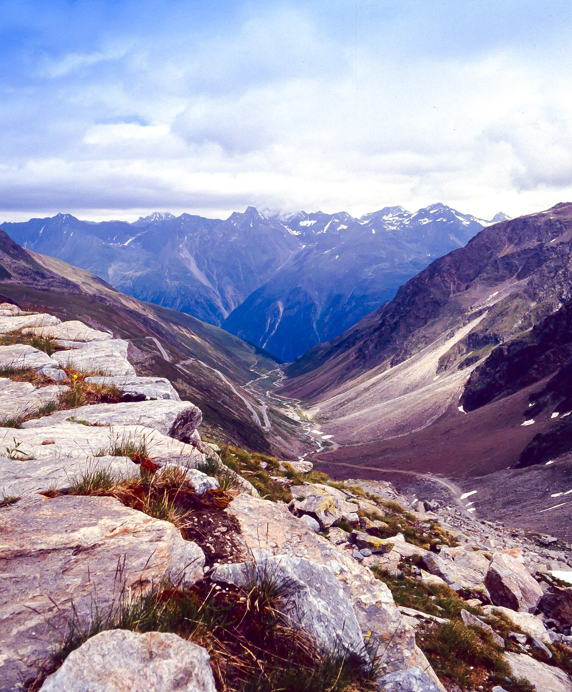

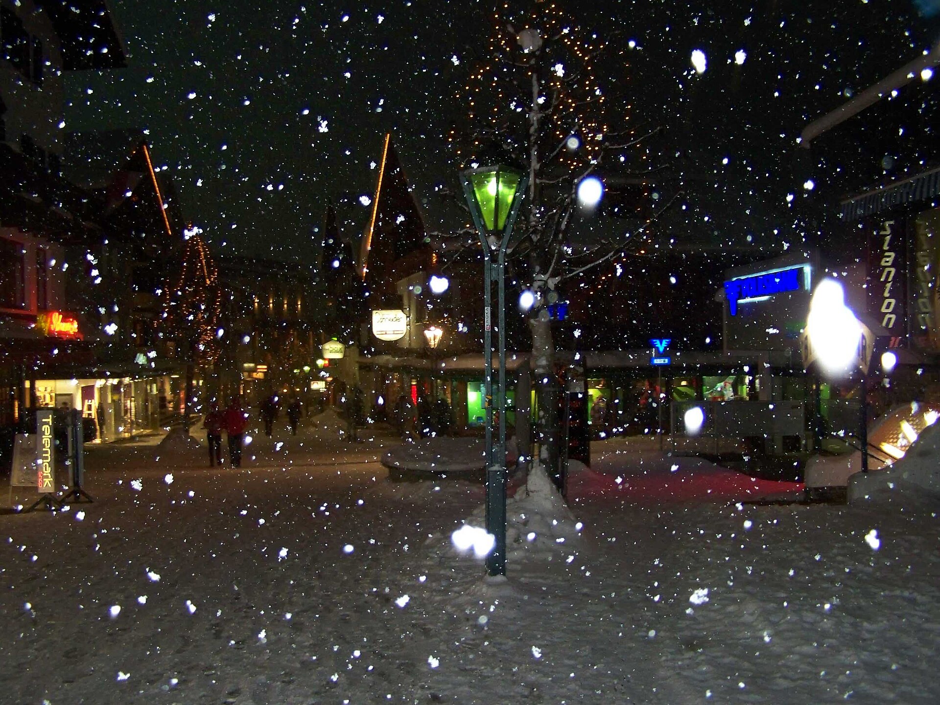
Archive photos · cropped for display
Questions about this resort
Is Run of Fame one 85 km ski run?
No. It is a circuit with multiple runs and lifts across Ski Arlberg. The operator presents it for advanced skiers; check the current route and return connections before setting off.
Can I reach St. Anton without renting a car?
St. Anton has a central Railjet station and local bus options. Check a dated rail itinerary and the final connection to the address of your accommodation.
Are the White Ring runs in St. Anton itself?
The White Ring is in Ski Arlberg’s Lech–Zürs region. Its descent lengths are labelled with that area here. If you stay in St. Anton, plan the connections and return before choosing the circuit.
How many runs does St. Anton itself have?
Ski Arlberg's live list for St. Anton – St. Christoph – Stuben has 81 entries: 61 graded pistes (35 blue, 20 red, 6 black) and 20 ski routes. The 301 km figure covers the whole Ski Arlberg area, including Lech–Zürs and Warth–Schröcken.
When is the best time to ski St. Anton for snow?
Historically, February is the strongest month, and late January to mid-March is the best window. GeoSphere Austria village-station records for 1991–2020 show snow depth peaking in February; in December the base is still building, and in April cover at valley level thins out first. Averages do not guarantee a season, so check the lift status and snow report before you travel.
How do I find ski partners in St. Anton?
Join SkiPair, choose St. Anton and your dates, and you will see skiers looking for the same resort.
What is the snow like in St. Anton?
Enter your dates on this page to see snowfall, snow depth and temperature. Near dates use the forecast. A later season uses recent yearly averages.
Resort information & sources
Sources checked on:
Official resort links, checked on the date shown. Recheck operating dates and prices when booking.
- Ski Arlberg — the interconnected ski area
- Ski Arlberg — Run of Fame
- St. Anton tourism — arrival and departure
- Ski Arlberg — St. Anton lift status
- Ski Arlberg — winter ticket prices
- Ski Arlberg — piste and ski-route grades
- Ski Arlberg — White Ring descent lengths
- Official ski pass prices — st-anton
- St Anton tourism — arrival by rail and airport gateways
- Ski School Arlberg — children’s lessons and meeting points
- Arlberg — children’s learning areas
- GeoSphere Austria Data Hub — monthly climate station records (klima-v1-1m): St. Anton am Arlberg village station, snow depth and new snow 1991–2020
- Ski Arlberg — live run list, St. Anton – St. Christoph – Stuben (every numbered piste and ski route with grade)
- Ski Arlberg — live run list, Lech – Oberlech – Zürs
- Ski Arlberg interactive piste map (Intermaps) — run length in metres for each numbered piste and ski route