
Skiing in Chamonix
In Chamonix, the valley name is not a single lift base. Match your level, school and accommodation to the area you want to ski, and plan the bus or rail connection for other days. A town-centre stay and a lesson in Le Tour can mean different morning journeys.
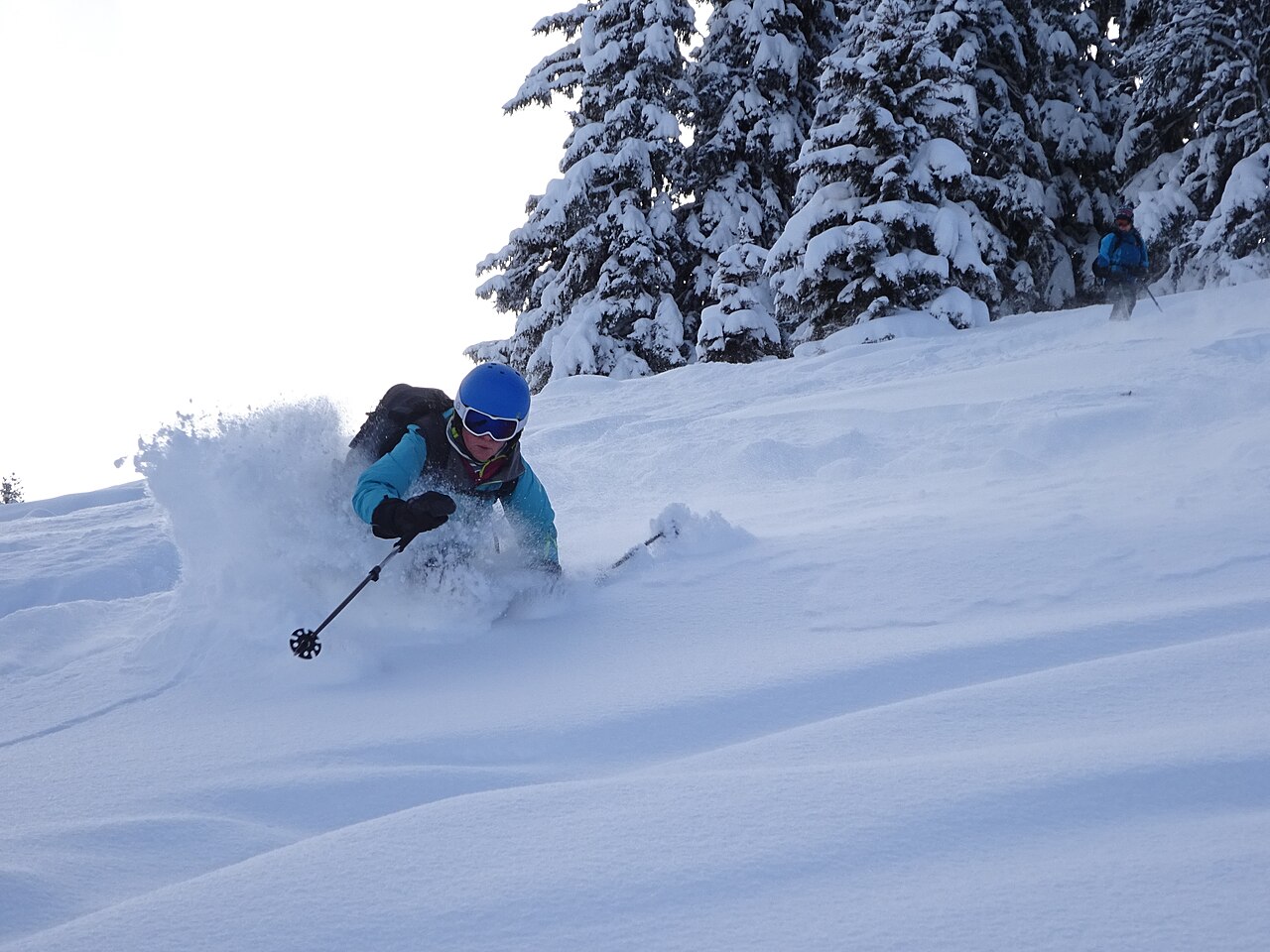
Chamonix: choose an area, then connect the holiday around it
Choose Chamonix ski areas and beginner slopes around Brevent, Flegere, Balme and Grands Montets. Plan Geneva travel, local transport, family stays, passes and partners.
- Mountain areas in this guide
- 4
- Named beginner areas described here
- 6
Skiing & terrain in Chamonix
The original directory of four mountain areas and six named beginner areas, plus every piste named on the operator’s official winter maps for Brévent–Flégère, Grands Montets, Balme (Le Tour – Vallorcine) and Les Houches (Bellevue–Prarion): 84 named pistes and 7 named links. Unnamed beginner runs (for example at La Vormaine and Plateau 2000) stay inside their area rows. The Saint-Gervais side of the Les Houches area is not included. The Vallée Blanche is listed once as an off-piste route, not a piste.
- Mountain areas in this guide
- 4
- Named beginner areas described here
- 6
- Named pistes from the official winter maps in this table
- 84
- Green pistes in this table: 7
- Blue pistes in this table: 26
- Red pistes in this table: 37
- Black pistes in this table: 14
Checked 18 October 2026 against the Compagnie du Mont-Blanc winter piste maps (PDF) linked from each area’s official access-and-maps page. Colours follow the maps’ French grading: green easy, blue intermediate, red difficult, black very difficult. The maps and the operator’s pages do not publish individual piste lengths, so every length is left empty; lift lengths and vertical drops are never used as run lengths. Area rows contain several pistes and have no single length. Off season the operator’s live report shows lifts only, not a slope list, so open/closed status is not stored here. The Grands Montets summit (3275 m) is marked on the map as under reconstruction, so no pistes from the top are listed. Snowpark, boarder-cross, snowshoe and cross-country trails are not counted as pistes. The Vallée Blanche is an unmarked glacier itinerary; the operator describes it as about 20 km, but no exact length is given.
| Run & area | Difficulty | Run length |
|---|---|---|
| BréventChamonix mountain areas · | See official mapSki area · multiple runs | An area has no single-run length |
| FlégèreChamonix mountain areas · | See official mapSki area · multiple runs | An area has no single-run length |
| Balme · Le Tour / VallorcineChamonix mountain areas · | See official mapSki area · multiple runs | An area has no single-run length |
| Grands MontetsChamonix mountain areas · | See official mapSki area · multiple runs | An area has no single-run length |
| La VormaineLe Tour · Three green pistes and one blue in the operator description | See official mapSki area · multiple runs | An area has no single-run length |
| Clos du SavoyChamonix centre · Two green learning pistes | See official mapSki area · multiple runs | An area has no single-run length |
| Plateau 2000Brévent / Planpraz · Four green pistes in the high-altitude beginner area | See official mapSki area · multiple runs | An area has no single-run length |
| La Trappe learning areaFlégère · Two green pistes reached via La Trappe | See official mapSki area · multiple runs | An area has no single-run length |
| Les PlanardsChamonix · Two green, one blue and one red piste | See official mapSki area · multiple runs | An area has no single-run length |
| Les ChosaletsArgentière · Two green pistes and one blue | See official mapSki area · multiple runs | An area has no single-run length |
| Charles BozonBrévent · Labelled “C.Bozon” on the official map; from the Brévent summit | BlackSki run | Length not yet verified |
| NantsBrévent · | BlackSki run | Length not yet verified |
| BouquetinsBrévent · | BlackSki run | Length not yet verified |
| CornuBrévent · | RedSki run | Length not yet verified |
| CharlanonBrévent · | RedSki run | Length not yet verified |
| Les LycopodesBrévent · | RedSki run | Length not yet verified |
| MélèzesBrévent · | RedSki run | Length not yet verified |
| SourcesBrévent · | BlueSki run | Length not yet verified |
| TetrasBrévent · | BlueSki run | Length not yet verified |
| ViozBrévent · | BlueSki run | Length not yet verified |
| BlanchotsBrévent · | BlueSki run | Length not yet verified |
| GéantBrévent · | BlueSki run | Length not yet verified |
| Accès FlégèreBrévent · Link towards the TPH Liaison cable car to Flégère | BlueConnection | Length not yet verified |
| Retour BréventBrévent · Link back to the Brévent side | BlueConnection | Length not yet verified |
| FloriaFlégère · | BlackSki run | Length not yet verified |
| François BonlieuFlégère · | BlackSki run | Length not yet verified |
| Les PrazFlégère · Descent from Flégère to Les Praz in the valley | BlackSki run | Length not yet verified |
| CrochuesFlégère · | RedSki run | Length not yet verified |
| LachenalFlégère · | RedSki run | Length not yet verified |
| IndexFlégère · | RedSki run | Length not yet verified |
| PylônesFlégère · | RedSki run | Length not yet verified |
| Remuaz HautFlégère · | RedSki run | Length not yet verified |
| Remuaz BasFlégère · | RedSki run | Length not yet verified |
| ÉvettesFlégère · | BlueSki run | Length not yet verified |
| ChavanneFlégère · | BlueSki run | Length not yet verified |
| Retour FlégèreFlégère · | BlueSki run | Length not yet verified |
| TrappeFlégère · In the La Trappe beginner area | Green · easySki run | Length not yet verified |
| LibellulesFlégère · In the La Trappe beginner area | Green · easySki run | Length not yet verified |
| Accès TKFlégère · Short link near Index towards the TK Floria drag lift | RedConnection | Length not yet verified |
| BlanchotsGrands Montets · | BlackSki run | Length not yet verified |
| PylônesGrands Montets · | BlackSki run | Length not yet verified |
| ChamoisGrands Montets · | BlackSki run | Length not yet verified |
| RemuazGrands Montets · | BlackSki run | Length not yet verified |
| Variante de l’hôtelGrands Montets · | BlackSki run | Length not yet verified |
| BochardGrands Montets · | RedSki run | Length not yet verified |
| Bas BochardGrands Montets · | RedSki run | Length not yet verified |
| CombesGrands Montets · | RedSki run | Length not yet verified |
| Pierre à RicGrands Montets · Descent from Lognan towards Argentière | RedSki run | Length not yet verified |
| ArollesGrands Montets · | BlueSki run | Length not yet verified |
| CoqsGrands Montets · | BlueSki run | Length not yet verified |
| TabéGrands Montets · | BlueSki run | Length not yet verified |
| MarmottonsGrands Montets · | BlueSki run | Length not yet verified |
| Croix de LognanGrands Montets · In the Plan Joran beginner area | Green · easySki run | Length not yet verified |
| Le PréGrands Montets · In the Plan Joran beginner area | Green · easySki run | Length not yet verified |
| Les EcuriesGrands Montets · In the Plan Joran beginner area | Green · easySki run | Length not yet verified |
| Liaison Plan JoranGrands Montets · | BlueConnection | Length not yet verified |
| MarmottesBalme · Le Tour / Vallorcine · | BlackSki run | Length not yet verified |
| Belle PlaceBalme · Le Tour / Vallorcine · | RedSki run | Length not yet verified |
| Les AlpagesBalme · Le Tour / Vallorcine · | RedSki run | Length not yet verified |
| SolongesBalme · Le Tour / Vallorcine · | RedSki run | Length not yet verified |
| StadeBalme · Le Tour / Vallorcine · | RedSki run | Length not yet verified |
| ÉcuriesBalme · Le Tour / Vallorcine · | RedSki run | Length not yet verified |
| AiguilletteBalme · Le Tour / Vallorcine · | RedSki run | Length not yet verified |
| Variante EssertsBalme · Le Tour / Vallorcine · | RedSki run | Length not yet verified |
| Les CaisetsBalme · Le Tour / Vallorcine · Descent from Charamillon to Le Tour | RedSki run | Length not yet verified |
| Forêt VerteBalme · Le Tour / Vallorcine · Descent to Vallorcine | RedSki run | Length not yet verified |
| BéchatBalme · Le Tour / Vallorcine · | BlueSki run | Length not yet verified |
| Les EssertsBalme · Le Tour / Vallorcine · | BlueSki run | Length not yet verified |
| Les PosettesBalme · Le Tour / Vallorcine · | BlueSki run | Length not yet verified |
| Les CrèchesBalme · Le Tour / Vallorcine · | BlueSki run | Length not yet verified |
| Le ColBalme · Le Tour / Vallorcine · | BlueSki run | Length not yet verified |
| ArveBalme · Le Tour / Vallorcine · | BlueSki run | Length not yet verified |
| Retour CharamillonBalme · Le Tour / Vallorcine · | BlueSki run | Length not yet verified |
| Liaison BalmeBalme · Le Tour / Vallorcine · | BlueConnection | Length not yet verified |
| Liaison EssertsBalme · Le Tour / Vallorcine · | BlueConnection | Length not yet verified |
| Liaison ÉcuriesBalme · Le Tour / Vallorcine · | RedConnection | Length not yet verified |
| KandaharLes Houches · | BlackSki run | Length not yet verified |
| Schuss des damesLes Houches · | BlackSki run | Length not yet verified |
| Stade (Bellevue)Les Houches · Labelled “Stade” near TK Grands Bois | RedSki run | Length not yet verified |
| Grands BoisLes Houches · Labelled “Gds Bois” on the official map | RedSki run | Length not yet verified |
| BellevueLes Houches · | RedSki run | Length not yet verified |
| Praz DruLes Houches · | RedSki run | Length not yet verified |
| Col de VozaLes Houches · | RedSki run | Length not yet verified |
| Mur des EpinesLes Houches · | RedSki run | Length not yet verified |
| MaisonneuveLes Houches · | RedSki run | Length not yet verified |
| Table d’OrientationLes Houches · | RedSki run | Length not yet verified |
| Stade FISLes Houches · | RedSki run | Length not yet verified |
| Variante HôtelLes Houches · | RedSki run | Length not yet verified |
| Stade (Prarion)Les Houches · Labelled “Stade” below Prarion | RedSki run | Length not yet verified |
| FontaineLes Houches · | RedSki run | Length not yet verified |
| Plan du CrêtLes Houches · | RedSki run | Length not yet verified |
| PlancertsLes Houches · | RedSki run | Length not yet verified |
| JorlandLes Houches · | BlueSki run | Length not yet verified |
| AilloudsLes Houches · | BlueSki run | Length not yet verified |
| Piste à LéonLes Houches · | BlueSki run | Length not yet verified |
| AbbayeLes Houches · | BlueSki run | Length not yet verified |
| La ChaLes Houches · | BlueSki run | Length not yet verified |
| MélèzesLes Houches · | BlueSki run | Length not yet verified |
| ChamoisLes Houches · | BlueSki run | Length not yet verified |
| PrarionLes Houches · In the Prarion beginner area | Green · easySki run | Length not yet verified |
| EcoleLes Houches · In the Prarion beginner area | Green · easySki run | Length not yet verified |
| Vallée BlancheAiguille du Midi · Off-piste glacier itinerary from the Aiguille du Midi, not a marked piste; the operator advises a guide for inexperienced skiers and describes it as approximately 20 km, so no exact length is listed | Ski routeSki route | Length not yet verified |
Chamonix ski areas: Brévent, Flégère, Balme and Grands Montets
Brévent is accessed from Chamonix, Flégère from Les Praz, Balme from the Le Tour/Vallorcine side and Grands Montets from Argentière. Choose the area for your level and check its current lift map instead of assuming every hotel in the valley serves the same skiing day.
Plan other areas as deliberate transfers. The pass’s geographic coverage does not remove bus journeys or create a ski connection between every valley base. Give a meeting address and lift name when joining friends at another area.
The table below now lists 84 named pistes from the official winter maps, sorted by area and colour: from the black Charles Bozon and Nants on Brévent and the red Pierre à Ric down towards Argentière, to the long Balme reds towards Le Tour and Vallorcine and the black Kandahar at Les Houches. The maps give names and colours but not lengths, so use them to compare levels, not distances.
Read the current official informationChamonix for beginners: six local learning-area choices
For a first lesson, compare La Vormaine at Le Tour, Clos du Savoy in town, Les Planards or Les Chosalets near Argentière with the school’s actual meeting point. They are different places, even though all can appear in a Chamonix search.
High-level access does not always mean difficult learning terrain: the operator also lists Plateau 2000 at Planpraz and the La Trappe beginner area at Flégère. Ask how to get up and down, which ticket is required and whether the lesson starts before or after a gondola ride.
Read the current official informationGeneva to Chamonix: the valley stop and the last local connection
Compare a flight to Geneva with the booked coach/transfer to your actual valley stop. A service ending at Chamonix Sud is not automatically a door-to-door trip to Les Praz, Argentière or Le Tour. Confirm the pickup terminal, baggage and arrival arrangements with the provider.
Rail itineraries can use the Mont-Blanc Express corridor to reach valley villages. For each option, check the dated timetable and final walk or local bus to the property. The flight search lets you choose your origin, so the same guide can support travellers arriving from different countries.
Read the current official informationChamonix with children: choose a learning base before the hotel
La Vormaine’s broad green learning pistes and the town-side beginner areas give families concrete choices. Pick one around the school, age, teaching language and equipment pickup rather than around a valley-wide kilometre total.
Confirm lunch and collection, and where a non-skiing adult can wait or meet the group. If one child is ready for mountain runs and another is beginning, allow separate morning plans and arrange a meeting reachable without skiing a difficult return.
Where to stay in Chamonix: town, Les Praz, Argentière or Le Tour
Town-centre accommodation can suit evenings and mixed activities; compare its actual approach to Brévent and the local bus network. Les Praz can fit a Flégère plan, Argentière a Grands Montets plan and Le Tour a Balme or La Vormaine plan. Check the exact lift and school address.
Ask the host about the stop, equipment storage and the return after dinner. A property elsewhere in the valley may work well with transport, but adds a journey. The Booking search starts in Chamonix-Mont-Blanc; inspect the village and address rather than relying on the destination name alone.
Find accommodation in Chamonix on BookingOpens Booking in a new window. If you have selected valid holiday dates below, they are included. Check dates, rooms, adults and children’s ages on Booking before booking; prices and availability are set there.
Chamonix Le Pass or wider coverage: check the exact itinerary
Compare Chamonix Le Pass with any wider Mont Blanc product using your actual ski areas and sightseeing plans. The operator’s terms specify the included facilities and exclusions; do not choose solely by the largest advertised kilometre figure.
For a first lesson, ask whether a beginner-area ticket is available and where it is sold. Confirm dates, duration, age group and transport benefits on the official page. No fixed price is invented for an unselected travel date or product.
Read the current official informationBest time to ski in Chamonix: snow history, sectors and winter maps
For the deepest snow in Chamonix, February and March are historically the best months at altitude: at Météo-France’s Lognan snow station (1970 m, Grands Montets), average snow depth over the 1995–2020 winters rises from about 117 cm in January to about 163 cm in February and 187 cm in March, and is still about 158 cm in April. The valley floor is very different: at the Chamonix station (1042 m), the 1991–2020 average is only about 27 cm in January and 33 cm in February, dropping to about 13 cm in March. So for village-level beginner areas January–February is the safer window, while April suits the higher sectors. These are long-term averages (a SkiPair calculation from Météo-France daily station data), not a guarantee for any season.
Snow conditions and operating dates differ between village learning areas and mountain sectors. Select your planned area in the operator’s report and combine it with the dated forecast. A general Chamonix weather result does not confirm that the lesson slope is open.
The operator’s website can display summer access maps outside winter. Check the season of the map before using it for ski planning. Off-piste and glacier outings require their own specialist plan and should not be treated as ordinary marked pistes.
Chamonix ski partners: match the area and the type of day
State the village, dates, level and whether you want lessons, marked-piste skiing, shared accommodation or evening company. Someone based at another end of the valley may share a holiday without sharing the same first lift.
Agree transport and meeting details before booking together. Keep different mountain plans when necessary and choose a place everyone can reach at the end of the day.
Ski pass prices for Chamonix
Check the operator’s current prices for your ski dates, ticket duration, age group and the area covered by the pass.
View official ski pass pricesOpens the official site in a new window. Prices and ticket conditions are set by the operator.
Weather and snow
A clearer view of the snow in Chamonix: recent snowfall, what is forecast next, and an outlook for your dates.
Snow and temperature are model estimates. They do not confirm that lifts or pistes are open. Further-ahead dates show seasonal patterns rather than a weather forecast.
Flights & getting to Chamonix
Choose your holiday dates. Inside the flight search, choose a departure city or airport in any country. We suggest an origin from your saved departure details when available.
Flight search is available to signed-in members. Prices and availability refresh during search; booking terms are set by the provider.
Closest airport is Geneva (GVA).
Chamonix is better with your kind of people
A destination in common is a good start. Find skiers and snowboarders whose dates, ability and idea of a great day match yours.
A glimpse of Chamonix

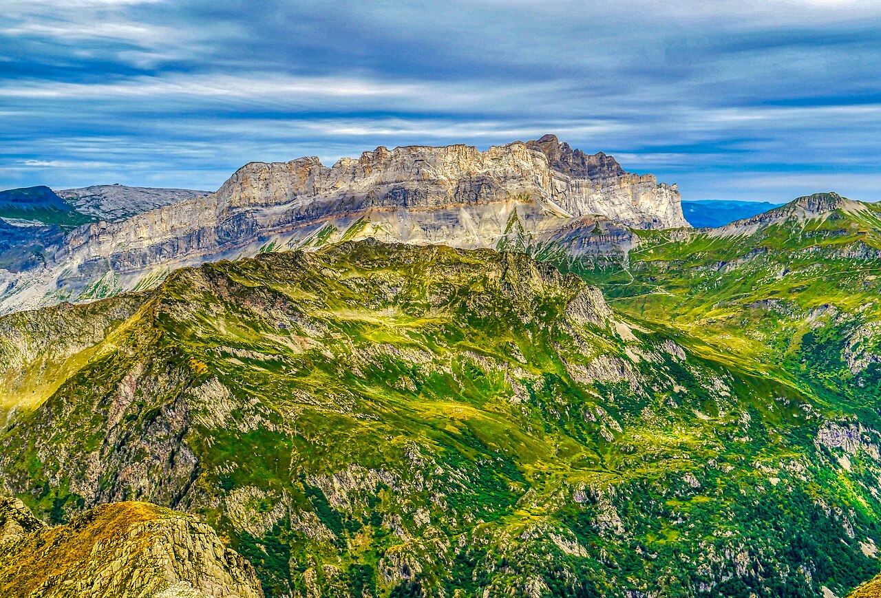

Archive photos · cropped for display
Questions about this resort
Is Chamonix one continuously linked ski area?
No. Plan around the chosen valley areas and their transport. A pass covering several areas does not eliminate transfers.
Are the area rows individual ski runs?
No. The first ten rows are areas containing several pistes, so they have no single-run length. Below them, the table lists 84 individually named pistes from the operator’s official winter maps, plus named links and the Vallée Blanche as an off-piste route.
Where can a beginner start in Chamonix?
Compare La Vormaine, Clos du Savoy, Les Planards and Les Chosalets, plus the higher beginner areas at Planpraz and Flégère, with the school’s meeting point.
Does a Geneva transfer necessarily reach my hotel?
Check the provider’s exact stop. A Chamonix Sud arrival may still require a local connection to your village or property.
When is the best time to ski in Chamonix for snow?
Historically February and March at altitude, when Météo-France’s Lognan station (1970 m) averages about 163–187 cm of snow depth (1995–2020 winters). Valley-level snow at Chamonix (1042 m) is much thinner and peaks earlier, so beginners using village slopes should favour January–February. Check the operator’s live report for your sector.
How long are the Chamonix pistes, and how many are red or black?
The operator’s winter maps name 84 pistes across Brévent–Flégère, Grands Montets, Balme and Les Houches: 7 green, 26 blue, 37 red and 14 black. No length is published for each run, so this guide does not quote run lengths. The Vallée Blanche is an off-piste glacier route of about 20 km by the operator’s description, not a marked piste.
How do I find ski partners in Chamonix?
Join SkiPair, choose Chamonix and your dates, and you will see skiers looking for the same resort.
What is the snow like in Chamonix?
Enter your dates on this page to see snowfall, snow depth and temperature. Near dates use the forecast. A later season uses recent yearly averages.
Resort information & sources
Sources checked on:
Official resort links, checked on the date shown. Recheck operating dates and prices when booking.
- Mont-Blanc Natural Resort — Chamonix ski areas
- Mont-Blanc Natural Resort — area access and maps; choose winter
- Mont-Blanc Natural Resort — beginner areas and piste counts
- Mont-Blanc Natural Resort — Chamonix Le Pass
- Chamonix tourism — getting to the valley
- Chamonix Mobilité — local transport
- Mont-Blanc Natural Resort — live operating reports
- Mont-Blanc Natural Resort — mountain and off-piste information
- Météo-France (data.gouv.fr) — daily climatological data, Haute-Savoie: Lognan snow station 1970 m (winters 1995–2020) and Chamonix 1042 m (1991–2020), snow depth
- Compagnie du Mont-Blanc — official winter piste map, Brévent–Flégère (PDF)
- Compagnie du Mont-Blanc — official winter piste map, Grands Montets (PDF)
- Compagnie du Mont-Blanc — official winter piste map, Balme (Le Tour – Vallorcine) (PDF)
- Compagnie du Mont-Blanc — official winter piste map, Les Houches (Bellevue–Prarion) (PDF)
- Mont-Blanc Natural Resort — Les Houches–Saint-Gervais access and maps
- Mont-Blanc Natural Resort — Aiguille du Midi: the Vallée Blanche off-piste route